Central Switzerland
Napf
The Napf region is a mountainous area lying at 800 to 1,406 metres above sea level that is named after its highest mountain, the Napf, and is located about halfway between the cities of Bern and Lucerne. It is part of the Emmental Alps.
Rich Content Section
The mountain for true athletes
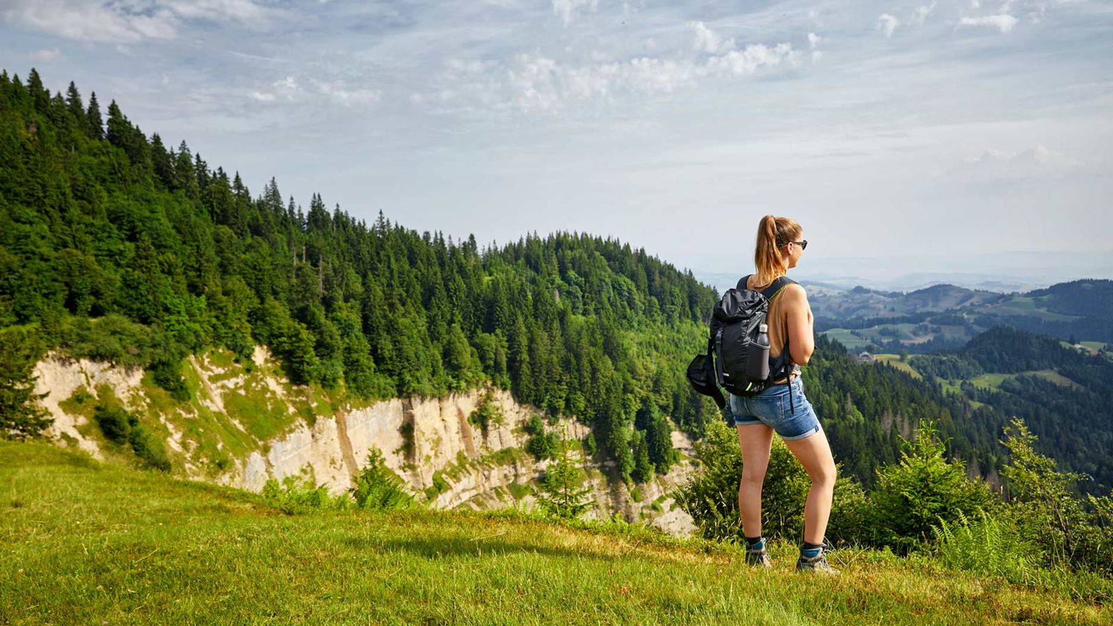
At 1,406 metres above sea level, the Napf mountain offers the highest viewing point between Emmental and Entlebuch. There are no roads or trains up to the summit – the panoramic mountain with its cosy inn is accessible only on foot or by bike.
Short climbing routes start at the Mettlenalp, at the far end of the Fankhausgraben (via Trubschachen), or from Hinder Ey at Luthernbad. The hike from the Lüderenalp to the Napf is particularly popular and is one of the most beautiful in the Emmental region.
The panoramic views range from the Jura in the north to the Bernese Alps in the south and the Central Swiss Alps to the south-east. The numerous karst rock formations in Entlebuch also offer splendid and stark beauty.
Highlights
Napf mountain region border path
The Napf mountain region border path takes you along the border between the cantons of Bern and Lucerne in six stages. Panoramic summits such as the Napf, the Wachthubel, the Marbachegg and the Brienzer Rothorn lie along the route.
During the six day-long stages, you will hike through the most varied of landscapes, covering 115 kilometres of trail and 6,000 metres in altitude, and discover mythical places. You can follow the signposted route 65Target not accessible without a hiking map or GPS. Have a picnic or stop off at one of the inns. Stay in an Alpine hut or in a hotel with a star rating. Try the locally produced cheese varieties.
On this hiking route, you don’t have to worry about anything – except for enjoying the beautiful nature and finding the next signpost.
Hikes in the Napf region
Varied and numerous hiking trailsTarget not accessible lead up to the Napf mountain. Choose one variant up and another down, as there are routes from the Napf that lead in all directions back to the Unterland.
If you’d like to take the fastest route, it’s the Wiggernhütte–NapfTarget not accessible or the Holzwegen–NapfTarget not accessible hike. For the latter, travel by train to Wolhusen and change there to Postbus route 221 and continue to the Romoos, Holzwäge bus stop.
If you prefer to arrive and leave by public transport, we recommend the Menzberg–Napf–Hübeli bei Hergiswil hikeTarget not accessible. Take Postbus route 261via Menznau to Menzberg, Dorfplatz. For the Willisau-–MenzbergTarget not accessible hike, travel by train to Willisau and from Menzberg, take Postbus route 261 to Menznau, where the train travels in the direction of Lucerne or Willisau.
You can also hike on the Napf mountain in winter and enjoy the idyllic snowy landscape. Many of the hiking trails are easy to access, even in winter. The last climb from the east up to the summit is often icy, so poles and “shoe spikes” are recommended.
Beach chairs above a sea of fog
The idyllic village of Menzberg in rural Lucerne is the highest village on the Napf, situated at 1,016 metres above sea level and boasting a unique 360° panorama. It often sits above the sea of fog in the autumn and winter months. Every year in autumn and winter, the beach chairs on the Menzberg offer a unique visual and sound experience. During the beach chair season (20 October 2024 to mid-March 2025), the beach chairs are an experience to be had in any weather and can be accessed at any time of day.
Travel to Menznau with ease by train, then take Postbus route 261Target not accessible to the final stop, “Menzberg, Dorfplatz”. All trails start directly by the bus stop.
Local families offer homemade products in two self-service shops, and the Landgasthof Hotel Menzberg welcomes visitors who want to stop and enjoy a rest.
Luthern
Take PostBus route 282Target not accessible from Zell to Luthern, Dorf. The center of the village of Luthern is an idyllic location at the foot of the Napf mountain. The Luther Valley is a hidden gem for hiking fans, nature enthusiasts and anyone looking for peace and quiet. At the far end of the valley, you will reach the pilgrimage site of Luthern BadTarget not accessible.
Willisau
The Willisau region is known for its pristine nature in the Napf region and is well worth exploring. Nature fans and sports enthusiasts can discover the area on one of the numerous hiking and cycling routes. Those who prefer a more leisurely pace can choose one of the various themed trailsTarget not accessible for their walk.

Swiss hiking trails – discover them now
Explore the hiking suggestions in the region for free.
- On the border trail in the Napf mountain region 1Target not accessible
- Up to the sunniest spot in the Napf regionTarget not accessible
Would you like access to all the Swiss Hiking Trail suggested hiking trails?
Then create a free user account at the Swiss Hiking TrailTarget not accessible and receive free access for 30 days to over 1,000 hiking suggestions (just click on the hiking suggestion you want and register). You can also take advantage of other benefits such as downloading GPS route data or recommended refreshments on the tour.
PostBus is an official transport partner of the Swiss Hiking Trail and is committed to sustainable mobility.
Rich Content Section


